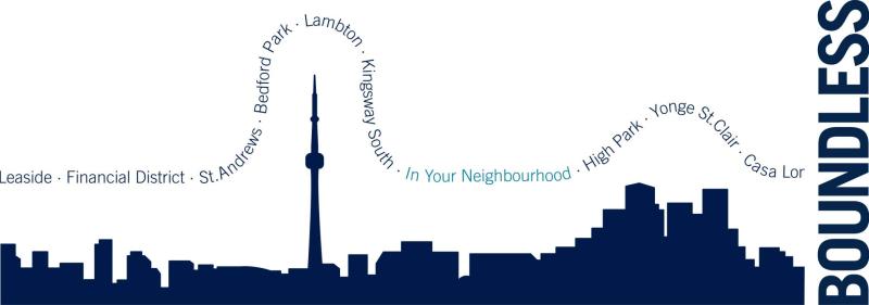
Mr. Fortin's presentation is part of an ongoing series of compelling lectures for alumni, hosted at venues across the GTA. U of T in Your Neighbourhood brings the University right into your community. Stay informed, inspired and connected, because together we are boundless.
In North America, since the early 2000s, we have seen the emergence of many popular digital history projects and books that represent historical topics cartographically and spatially (e.g., Old Maps of Toronto). Thanks in large part to the work of academic researchers such as Anne Kelly Knowles (Placing History), Ian Gregory, and David Bodenhamer, historical Geographic Information Systems (GIS) are increasing in popularity on our campuses in disciplines such as History and Literary Studies, where they have been, up until very recently, very little used.
As we all know, this shift in how we look at geography has not been limited to academia. The popularity of web maps and increased access to geographic data (from web mapping services such as GoogleMaps and OpenStreetMap), have transformed access to cartographic information, user expectations, and the very definitions of cartography as a profession and maps and mapping as tools. So what is now the link between academic work and public interest projects, and the national context of new demands on public access to cartographic and historical data?